Our investment in Terria: Powering the Next Generation of maps and Digital Twins
February 24, 2025

Founded as an internal project in 2014 and spun out of the CSIRO, Terria is an Australian startup addressing the challenge of effectively managing and visualising complex geospatial data.
We first crossed paths with Terria a few years back at the CSIRO Data61 labs. The team were working on virtual replicas of physical objects for manufacturers and other industries, and we were immediately impressed. They were solving a major mapping and data problem, and we’ve been keeping an eye on the company’s progress ever since.

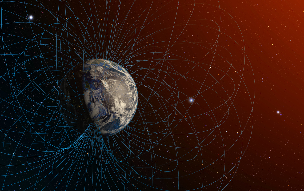
Geospatial intelligence is important for a variety of reasons, but ultimately it’s because better location-based insights mean smarter decisions. It helps businesses and governments plan strategically, optimise resources, cut costs and reduce environmental impact. It also fuels cutting-edge tech like AI, IoT and digital twins, shaping the future of smart cities and industries.
Terria unites Australia’s best geospatial minds. At the helm, CEO Ana Belgun is a relentless problem solver, ensuring customers get cutting-edge, impactful solutions. As CXO, Amber Standley, is a master of user experience and designs seamless customer journeys that make the product scalable, intuitive and best-in-class.
With the geospatial analytics market already worth over $134 billion (roughly USD$84 billion) and set to more than double in the next decade, organisations that can harness this data effectively will lead the way in solving some of the world’s biggest challenges.
Terria’s big idea
Terria is the easiest way to create powerful geospatial visualisations and digital twins—without the heavy lifting. Unlike traditional platforms that demand complex coding and data wrangling, Terria seamlessly integrates live, dynamic records from multiple sources and formats, making mapping effortless.

Built for scale, Terria handles massive datasets and multiple users across an organisation. Its open-source foundation—capable of processing 80+ file formats—ensures continuous innovation and adaptability. By bridging the gap between geospatial, engineering and government data, Terria empowers stakeholders of all technical levels to share insights and drive smarter decisions. With all this in mind, it’s easy to understand why Terria’s core software is already used in dozens of organisations globally including a full Digital Twin of Tokyo, The Australian National Map, as well as the New South Wales, Victoria and Queensland Digital Twins.
With a decade of trust and innovation already under its belt, Terria is now embarking on its next stage of growth while redefining how the world visualises and understands geographic information. With greater access, transparency and knowledge, government and industry decision-makers can arrive at better and more sustainable decisions for humanity and our planet.

We’ve been proud to lead Terria’s seed round and join the company as it scales the platform to transform the way we think about geospatial data, for good.
The world is generating more geospatial data than ever—satellite imagery, IoT sensor feeds, real-time tracking analytics—but we’re still struggling to harness its full potential. Bringing together large volumes of data from different sources, in various formats and making it usable across governments, large organisations and external partners remains a major challenge.
In case you’re not familiar with the industry, let me take a step back… Geospatial analytics is all about understanding where things are and what’s happening there. It combines location with real-world and real-time insights, making it essential for industries like urban planning, environment and climate monitoring, disaster response, critical minerals and resources, food security, defence and healthcare.
Geospatial expertise is a rare find, even among data scientists. Only 5% possess the skills to interpret it, and a staggering 90% of their time is consumed by wrangling raw data, leaving little room for generating meaningful insights. The challenges don’t end there. Transforming these information streams into clear, actionable visualisations or digital twins remains an even greater hurdle.
As governments and private enterprises pour investment into geospatial technologies, the demand for scalable, multi-modal data processing solutions continues to grow.
The question is: how do we move beyond data overload and start making smarter, faster and more informed decisions?
Enter Terria: A next-gen solution for the geospatial industry.
Written by

Danielle Haj-Moussa
Investment Manager
WHat to read next
.jpg)

Ben Hansky
October 7, 2025


Elaine Stead
July 15, 2025

Danielle Haj-Moussa
June 13, 2025
WHat to read next

Mike Zimmerman
May 19, 2026
Alejandra Romero
April 14, 2026

Alezeia Brown
March 26, 2026
Stay in Touch
